
Acton Neighbors Source Map
Public sources around an Acton address describe Acton parcels, ownership, dated registration, or civic governance. They do not reveal a complete household. Acton MapGeo provides the best first view because its parcel cards show which lots surround a chosen Acton address. The Acton property record can identify an assessed owner and mailing address. Acton voter records follow a separate election-law process. Acton historical directories can supply a dated address clue. Keep these Acton relationships distinct before deciding whether a nearby record belongs to an Acton neighbor question.
| Source | What It Shows About a Block | Access |
|---|---|---|
| Acton MapGeo | Parcel shape, parcel ID, property card, and the adjacent lots visible on the map | Public map viewer with an approximate-map disclaimer |
| Acton Assessor record | Assessed owner, Acton mailing address, value, land use, and property-record fields | Acton Assessor and property-card route |
| Acton recorded deed | Named grantor or grantee, recording date, book and page, and legal Acton property link | Middlesex South Registry search and Acton record route |
| Acton voter record | An individual Acton registration result or a dated local record where law permits | State individual form or Acton Clerk request |
| Acton community material | Public Acton governance, historical context, and association contact information | Acton organization and library access rules control |
An Acton assessed owner may be an entity, trustee, town department, or person whose mailing address is elsewhere. An Acton parcel can also be a rear lot, open land, or public property. Acton geometric neighbors are simply parcels that touch or surround the Acton map area. They are not necessarily members of one household, and they may not share an Acton street number.
Mapping Acton Neighbor Parcels
The verified Acton adjacent-parcel method uses individual Acton MapGeo cards. No separate buffer, radius, or bulk-neighbor export was verified in the public interface. Work from the target Acton address outward and keep an entry for each Acton parcel instead of trying to turn map geometry into a name list. Exact Acton address wording matters, especially where a card uses a unit, lot, or rear designation.
- Open the target address in Acton MapGeo and capture the displayed parcel ID together with the exact street wording.
- Zoom out enough to see the surrounding polygons, then click each adjoining or nearby polygon individually.
- Open every adjacent property card and preserve its street address, parcel ID, assessed owner, mailing address, and deed book or page if shown.
- Use the deed reference at the Southern Middlesex Registry when a legal-property connection needs confirmation, keeping the instrument date separate from the map date.
- Use the Acton Clerk or a public civic source only for a narrow, lawful follow-up record that matches the parcel and date.
The flow is address to parcel ID to adjacent cards to deed or local civic record. It stops there unless a record custodian offers a lawful and relevant next step. For a full named-street sequence rather than an immediate block, use the separate Acton Street Directory route.
Acton Neighbors Through MapGeo
MapGeo supports address and parcel searches, map selection, theme changes, and property-card inspection. The field set can include parcel or property ID, assessed owner, mailing address, acreage, land use, deed book and page, and a property-record-card link. It is useful for locating records, not for proving a boundary or present occupancy. Acton says the assessor data is uploaded quarterly and warns that parcel geometry is approximate, not a survey, and has no legal bearing.
Acton MapGeo’s sample parcel card illustrates the fields available from the public viewer.
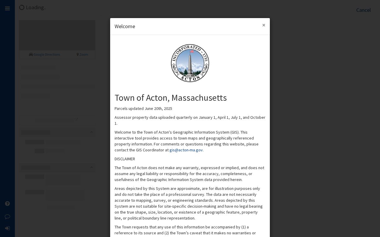
The sample is a municipal rear parcel, which is a useful warning against assumptions. A map card can show a municipal owner, land-use code, and a deed reference without representing a household. Preserve the disclaimer and the map date when a parcel card is used as a research lead.
Acton Neighbor Voter Records
The state voter lookup is for an individual, not a block search. It requires a first name, last name, date of birth, five-digit residential ZIP, and agreement to its terms. A result reports registration status for the submitted information. It should not be described as a complete household result or proof that a person is at an address on the date read.
Local voter and election records follow a different path. The Acton Town Clerk is the municipal contact for a lawful request, while M.G.L. c.51 §37 sets the annual-register inspection and copying framework. Request a specific year, precinct when relevant, list type, and fields. Confidential voters, protected addresses, inactive or omitted-voter rules, and statewide-list limits remain in force.
Note: A dated voter record is an election record with a defined purpose, not a public roster of everyone living along an Acton block.
Acton Neighbors and Civic Records
Some nearby-address questions belong with a custodian rather than a map. The Town Clerk handles municipal elections, annual census or street-list work, public-records routing, marriage intentions, vital records, and business certificates. Acton’s Building, Engineering, Planning, and other departments hold address-related project or permit material through current and legacy systems. A narrow request should identify the existing record, department, address or parcel ID, and date range.
Under Massachusetts Public Records Law, M.G.L. c.66 §10, a custodian may apply exemptions, redact protected details, and decline to create a new analysis. Acton directs map, aerial, parcel, and assessor-information requests to the GIS function. That routing matters. A focused request for an existing record is more useful than an open-ended request for information about a person or all nearby properties.
Acton Neighbor Association Contact
Community associations can be useful for public governance information, but their member directories are not a substitute for official records. Acorn Park is the association source verified for this Acton block-research layer. Its public materials can point to a handbook, board contacts, and association information. The resident directory remains access-controlled, so personal names and contact details inside it should stay within the association’s stated boundary.
| Association | Public Contact or Record | Directory Boundary |
|---|---|---|
| Acorn Park | Public handbook, board, and governance information | Resident directories are password-protected and are not a public town roster. |
Acorn Park’s public association pages are the source for the governance boundary shown here.
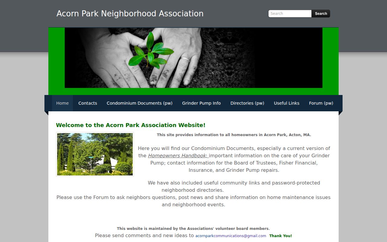
The public materials support a request for a public historical or governance fact. They do not support collecting or republishing a protected neighborhood directory.
Acton Neighbor Story: Layers of Time
Acton’s block records span far more than the current web map. The town was incorporated in 1735, and the library’s Early Town Records project covers 1735 through 1829. Later annual reports, directories, voting lists, newspapers, maps, and modern municipal portals add separate dated layers. A historic district, an old newspaper item, or a town-meeting record can explain an address or street reference, yet none should be used to infer where a living person is now.
Acton Memorial Library and the Acton Historical Society hold historical materials that can help separate a long-ago household from a modern parcel record. Use the collection year, page, and source type. A historical map is context. A deed or current parcel card is a different kind of evidence.
Acton’s Town Maps collection also distinguishes parcel, precinct, street, public-land, and sewer maps. Each layer can orient a local question, but its purpose remains narrow. A precinct map helps place election research; it does not identify a household. A road or sewer map can explain geography, while the registry instrument remains the property-record authority.
Acton Neighbor Numbers That Matter
For a block check, the useful numbers are usually parcel IDs, deed book and page references, record dates, permit numbers, and the map’s update date. The inspected MapGeo sample demonstrates why exact fields matter: it is labeled 160 Central Street Rear, uses parcel ID G2-183, has a municipal owner, and shows a deed book and page. It also carries a land-use code and a large land-only value. Those facts identify a property record, not a resident.
Acton’s MapGeo information notes quarterly assessor-data uploads, so a displayed owner, value, or geometry should carry the access date. The Southern Middlesex Registry’s online availability of grantor indices from 1896 through 1973 is another useful number range for earlier deed research. It is a historical record path, not an inventory of current neighbors.
Acton Neighbor Source Comparison
Official records and commercial neighbor-search categories serve different purposes. Official sources identify their custodian, access rule, and record date. Commercial services may combine public filings with other data, but their coverage, correction routes, and update practices vary. A parcel card or voter result should remain tied to its own source instead of being blended into an unverified neighborhood profile.
| Source Category | Useful For | Limit |
|---|---|---|
| Official Acton and Massachusetts records | A dated, defined record such as a parcel, docket, voter result, or clerk-held document | Access rules, redactions, and record purpose limit what the result establishes |
| Commercial neighbor-search category | Possible leads that require independent confirmation | Data may be old, mixed, incomplete, or hard to correct; do not treat it as an official resident record |
Acton Neighbor Privacy Limits
Public access does not erase privacy. Massachusetts protects Address Confidentiality Program participants through substitute-address and mail-forwarding rules. Confidential-voter protections, court impoundments, juvenile records, victim information, medical details, and police investigative material have their own boundaries. Do not try to identify an omitted person, reverse a protected address, or copy personal facts from a different record just because they appear visible there.
Owners, occupants, mailing addresses, and neighbors are not interchangeable labels. Utility and delivery information are not ordinary public block records. If a record is inaccurate, contact the custodian that holds it, such as the Assessor, Town Clerk, court clerk, registry, or licensing board. Preserve the disputed field, source date, and agency response.
Lawful use. Acton neighbor records are for limited, lawful personal research and civic context. Never use them to stalk, harass, intimidate, or harm anyone.