
Trace an Acton Street Address
An Acton street search works best when it moves from a physical address to records that use different keys. The Acton Assessor and Acton MapGeo provide the parcel lead. The Southern Middlesex Registry serving Acton supplies the legal instrument behind a book and page reference. An Acton municipal street list or a dated Acton directory can then be requested or inspected for the narrow time period that matters. None of those sources alone proves that every person at an address lives there now. Together, they preserve a defensible Acton record trail.
- Enter the exact Acton address in the Acton Assessor or Acton MapGeo search. Keep the street suffix, unit, lot, and any rear designation as written, then save the parcel or property ID and assessed owner.
- Open the Acton MapGeo parcel card and inspect the same Acton location on the map. Compare the displayed property address, mailing address, acreage, land-use information, and deed book or page when those fields appear.
- Use the book and page, document number, property search, or Acton town filter in the Southern Middlesex Registry to locate the Acton recorded instrument. Record the grantor, grantee, date, and legal description rather than assuming a mailing field shows occupancy.
- For a dated local residence clue, contact the Acton Town Clerk about the Acton annual census or street-list route. State the year, street or precinct, requested field, and whether inspection or a copy is sought.
- For a past household clue, inspect the relevant historical directory edition through Acton Memorial Library or the State Library's Acton collection. Keep its publication year and page with the address, and separate that historical entry from present-day records.
That Acton order keeps the street directory focused on address-keyed evidence. When the question becomes a one-person verification rather than an Acton street-by-street trail, the separate Acton resident lookup route uses a different set of records and limits.
Use Acton Street Directory MapGeo
Acton MapGeo accepts an address or parcel search, supports map selection and themes, and can open an Acton property card. The Acton viewer can expose parcels, public land, roads, sewer, and other municipal layers when the live interface offers them. It is Acton's local starting point for a street directory search because a stable parcel ID can bridge a spelling difference or a rear-address label.
Open the Acton MapGeo search and layer view before comparing a street address to the parcel card.
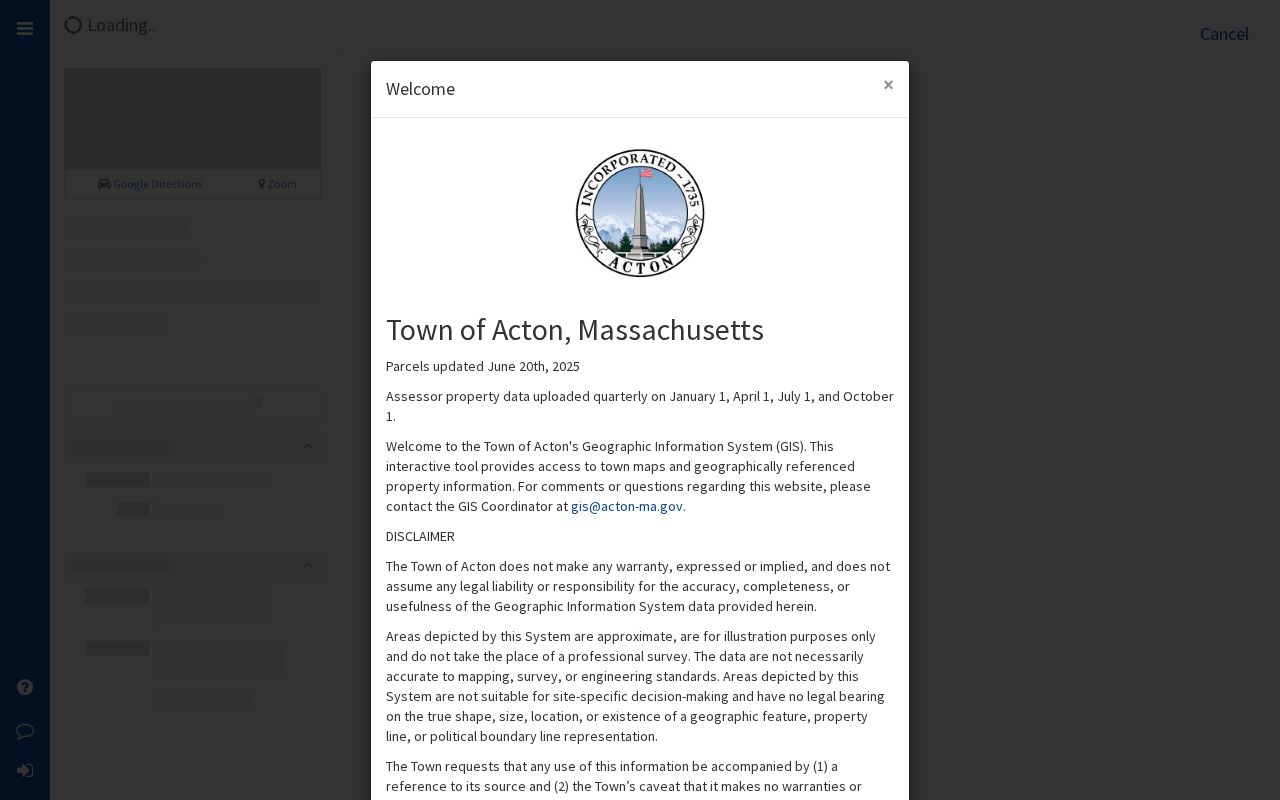
The Acton MapGeo screen is useful for locating the map feature first, then opening the individual Acton property card rather than treating a map label as a complete record.
| Acton MapGeo field | Use in an address search | Important reading limit |
|---|---|---|
| Address or street search | Enter the exact Acton address string, including a unit, rear, or lot reference. | Similar street strings can refer to different parcels. |
| Parcel or property ID | Use the selected Acton parcel ID when address wording varies. | An ID identifies a property record, not a household. |
| Owner name | Search the assessed owner or entity in the Acton property search. | Assessed ownership is not proof of current occupancy. |
| Mailing address | Preserve it separately from the Acton property address. | A mailing location can be elsewhere. |
| Property-card link | Open the Acton property-card values, acreage, land use, deed book/page, and available card fields. | Fields can vary by record and interface. |
| Map layer or theme | Use Acton parcels, roads, public land, sewer, or available municipal themes for context. | The map remains informational, not a legal survey. |
Acton Assessor property data is uploaded quarterly, and Acton MapGeo says its parcel geometry is approximate, not a survey, and has no legal bearing. Capture the date viewed with any Acton street record. For a legal boundary question, use the Registry plan for Acton or a survey-grade source instead of relying on the Acton map outline.
Note: Acton MapGeo can supply a parcel lead, but its address and owner fields should be compared with dated Acton Registry and municipal records.
Match Acton Street Records
Several Acton offices keep records keyed to an address, but they answer different questions. The Acton assessor record describes the assessed parcel. The Registry serving Acton records a legal instrument. Acton permit systems describe a project or filing. Acton election records are governed by separate access rules. Acton historical directories offer dated clues rather than a present roster. Using the Acton source name and record date prevents a street directory entry from claiming more than the underlying record supports.
| Address record | Custodian | What the record can show | Access channel |
|---|---|---|---|
| Assessor and MapGeo | Acton Assessor and GIS | Parcel, assessed owner, mailing address, value, acreage, land use, and map context. | Acton MapGeo, Assessor office, or a GIS-directed request. |
| Deeds and plans | Southern Middlesex District Registry of Deeds for Acton | Grantor, grantee, recording date, book/page, document, plan, and legal description. | Online index and images, Registry counter, or Acton copy request. |
| Permits | Acton OpenGov, MUNIS, Building, Engineering, or Planning | Project address, applicant or owner as filed, permit status, comments, and plans. | Current and legacy systems, then the responsible department. |
| Voter records | Secretary of the Commonwealth and Acton Town Clerk | A dated individual result or locally maintained list fields where law permits. | Individual lookup or a local request subject to protections. |
| Historical directories | Acton Memorial Library and Massachusetts State Library | A dated address-to-name clue by edition year. | Library or archival access; no verified open reverse run was located. |
An Acton parcel number is especially useful because it can connect an Acton assessor card to a deed reference and an Acton permit file. An Acton street name alone can fail when records use a different suffix, a rear designation, a lot, or a changed project address.
Read Acton Deeds by Street
The MassLandRecords Middlesex South interface offers Recorded Land, Registered Land, Plans, and Registered Land Plans. Its controls include office, search type, party name, party type, document type, town, recorded-date range, street number and street name, book/page, document number, certificate, and plan ID. Set the town to Acton when that control fits the task, but use a book and page from the property card first when one is available.
For Acton, the Registry describes online searching, viewing, printing, and downloading as free. It also states that Acton copies can be viewed, printed, or downloaded online without charge. An Acton certified copy is different from an online image, and an Acton legal record should retain its book/page, document number, recording date, and instrument type. Search results can require an image viewer, printing, downloading, or browser support for some actions.
For a backward Acton street directory trail, identify the buyer or grantee in the current instrument, then find that party's earlier acquisition as grantee. Stop when the Acton legal description changes or an index gap appears. The Registry announced in October 2025 that Acton grantor indices from 1896 through 1973 are online free, while its unindexed property path covers Book 1 through 1024. A no-result statement should name the exact Acton index and date range searched.
Check Acton Street Permit Records
Acton address records often include project history as well as property data. The Acton Licenses and Permits page routes Acton Building, Engineering, Conservation, Planning/Zoning, and some Fire applications through OpenGov. The Acton Building Department describes logging in, selecting the department, and choosing a permit type. An Acton permit can name an applicant, owner, agent, contractor, or designer, so its names should stay tied to the filing role shown.
Use the Acton OpenGov permit route to begin a current address-based project search.
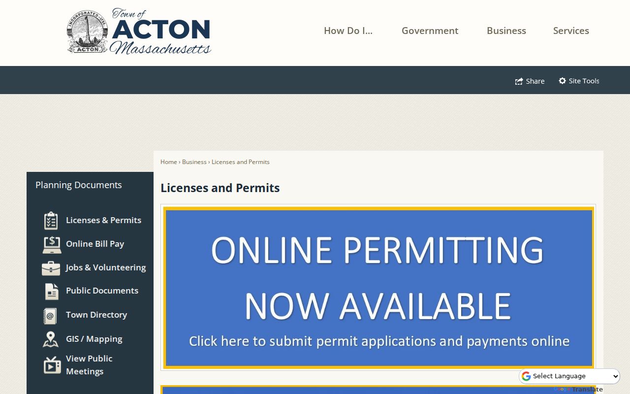
The Acton municipal permits screen points to the current application path, while older Acton address history may need a different system or a department request.
Acton OpenGov and Acton MUNIS do not cover the same history. Acton MUNIS provides permit status, plan-review comments, and project or permit history, but its page says records before November 18, 2015 require contact with the relevant department. Preserve the Acton system searched, project address, permit number, status, and whether the item is an application, permit, inspection, comment, or closed project. That distinction helps when one Acton address appears differently in current and legacy records.
Request Acton Street List Records
The Acton Town Clerk administers the annual census and street list, elections, and public-records functions. For a lawful municipal-list request, identify the year, street or precinct if known, list type, requested fields, and whether inspection or a copy is needed. The annual register and street list are dated municipal records. They should not be restated as an unrestricted, current street roster.
The statewide voter form is deliberately individual. It requires a first name, last name, date of birth, five-digit residential ZIP, and agreement to the terms. It is useful for a known person when authorized, but it does not produce a downloadable street list. The Town Clerk is the local route for an Acton list or election-record request, subject to M.G.L. c.51 §37, 950 CMR 57, and confidential-voter protections.
If a record is not online, Acton's public-records route accepts requests through NextRequest, mail, fax, email, or in person. Ask for an existing record by address, parcel, date range, or list year. Massachusetts Public Records Law, M.G.L. c.66 §10, generally uses a ten-business-day response framework, while fees, exemptions, and redactions can affect the response.
Note: Preserve the record date and any status or redaction label instead of converting a municipal list into a claim of present residence.
Compare Acton Street Directory Years
For a historical address clue, the State Library inventory identifies Acton directories for 1883–1884, 1902, 1913, 1926, 1936, 1941, 1947, and 1950. The same inventory lists Acton voting lists for 1978, 1980, 1988, and 1992. Those uneven runs are useful dated checkpoints, not a seamless street directory. Inspect the title page, page number, name as printed, and abbreviation key before relying on an entry.
Acton Memorial Library also identifies assessors' lists, newspapers, yearbooks, genealogy resources, town-meeting materials, and annual reports. The Library's genealogy collection is non-circulating, kept in a secure area, and requires visitors to sign in at the Reference Desk. A historical address result should retain its collection, year, page or image, and access date. The library collections are covered more fully in the Acton city directory material.
These dated directory and voting-list runs can help date a household reference along a street without making it a current claim. An address in a 1950 volume, for example, belongs to that edition year. It should be compared with a dated deed, tax record, or later source before any historical conclusion is recorded.
Resolve Acton Street Number Changes
Acton Engineering assigns street numbers under Bylaw E1 and handles or uses recorded deeds, plot plans, road layouts, sewer information, FEMA maps, subdivision materials, and aerial or historic maps. That makes Engineering the practical route when a deed, MapGeo card, and permit record use different street descriptions. Keep the source department, record date, and map or plan status with the comparison.
Rear parcels need special care. The MapGeo sample for 160 CENTRAL ST REAR shows why an exact display string, parcel ID, and Registry book/page are stronger than a broad street-only search. A rear label can refer to a distinct parcel record. It does not identify a household merely because the street name matches.
Know Acton Street Directory Terms
Property and historical records use short labels that can change the meaning of a result. Read each field in the context of the source that supplied it.
- Parcel
- A mapped piece of assessed property, commonly identified by a parcel or property ID. It is not a list of people.
- Situs address
- The physical property address used to identify the location. It can differ from the owner's mailing address.
- Plat or plan
- A recorded map or plan tied to a parcel, road layout, subdivision, or legal description.
- Criss-cross directory
- A historical address-to-name reference organized by location rather than only by person. No open Acton run was verified in the research.
Where an older directory, plan, or property card uses a different street form, retain both versions in the search notes. A normalized modern address can hide the very wording needed to find an older record.
Track Acton Street Data Updates
Acton's FY2026 and FY2027 budget materials describe OpenGov and MapGeo integration, automated building-permit import into Vision, and planned scanned-historic-information integration into MapGeo. The local records path is evolving: a current property card, a legacy permit record, a scanned archive, and a department file can all matter to one address.
Integration does not show that every older record has been backfilled. Record the portal's displayed update date, the date searched, and the source system. If a current tool does not show the needed history, move to MUNIS or the responsible department rather than treating a blank screen as proof that no record exists.
Respect Acton Street Privacy Limits
An Acton street directory can point to property, document, permit, and dated municipal sources, but it cannot establish a full household. Assessed owner, legal title holder, mailing address, registration address, and day-to-day location can all differ. Confidential-voter protections, court restrictions, redactions, and the Massachusetts Address Confidentiality Program can properly withhold an address or other details.
When a source says a record is confidential or redacted, retain the access instruction and omit the protected detail. The Massachusetts Address Confidentiality Program uses a substitute address and mail forwarding for qualifying participants. A parcel match is not a reason to infer or publish a protected location.
Note: A street record is strongest when it names the custodian, record date, parcel or document key, and the precise limitation on what it proves.
Request Missing Acton Address Records
If the online trail ends, ask the office that holds the record for the smallest existing item that fits the address question. A permit request can identify the street address, parcel, application number, and date range. A map, aerial, parcel, or assessor request should be routed to GIS. A Town Clerk request can name the list year or municipal record sought. The Registry, Library, and department counter remain useful access channels when an online index is incomplete.
For every request, keep the date sent, receiving office, exact wording, response date, fee notice, exemption citation, and any redacted copy. Massachusetts law does not require a custodian to create a new analysis or a broad address profile. A bounded request for an existing record is clearer and easier to evaluate.